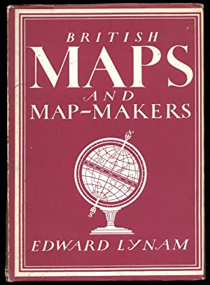
British Maps and Map-Makers
By Edward Lynam
1944
First Published
3.00
Average Rating
48
Number of Pages
Part of Series
Probably few people realize the many-sided interest and charm of early English maps and coastal charts, yet they are inextricably bound up with our history and culture. The Plantagenet wars, the distribution of monastic estates to laymen, our maritime expansion under Elizabeth, the buccaneers’ raids in the Pacific under Charles II, the enclosure of common lands, the ’45, the building of post-chaise roads, canals and Palladian ‘seats’ for the gentry, and the growth of the British Empire under George III are all recorded in our maps and charts. At the same time, scientific research by Elizabethan seamen, by the Royal Society founded by Charles II, and by the Ordnance Survey, together with the invention of new instruments – from the astrolabe to the cross-staff, from the plane-table to the theodolite – were gradually perfecting methods of surveying. The ornament, symbols, lettering and colours upon maps reflect the fashion of their times, changing from the illuminated maps drawn on the parchment by mediaeval monks to the extravagant pseudo-classical cartouches and delicate copper engraving and writing of the sixteenth century on to the massive baroque of Dutch Williams’ time and the graceful rococo and “empire’ styles of George III’s reign.
Avg Rating
3.00
Number of Ratings
1
5 STARS
0%
4 STARS
0%
3 STARS
100%
2 STARS
0%
1 STARS
0%
goodreads


