


Books in series
Aloha-Reedville
2013
Around Florence
2014
Ashland
2009
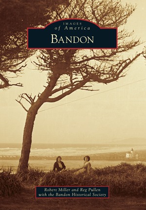
Bandon
2013

Beaverton
2012

Bend
2009

Boring
2014

Bridges of the Oregon Coast
2006

Camp Rilea
2014

Coos County
2007

Crater Lake National Park
2013

Crook County
2013

Dallas
2012

The Dory Fleet of Pacific City
2008

Estacada
2012

Filipinos in the Willamette Valley
2010

Fire Lookouts of Oregon
2016

Forest Grove
2010

Fort Stevens
2008

Gold Hill
2010

Grants Pass
2012

Gresham
2011

Harney County
2009

Hillsboro
2009

Historic Baker City
2002

Hood River
2013

Jacksonville
2010
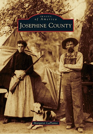
Josephine County
2016

Keizer
2015

Lake Oswego
2009

Land of Umpqua
2011

Lincoln City and the Twenty Miracle Miles
2008

Madras
2012

McMinnville
2012

Molalla
2008

Myrtle Creek
2012

Myrtle Point and Vicinity
1893-1950
2014

Newberg
2010

Newport
2010

North Bend
2010

Oregon City Floods
2016

The Oregon State Fair
2007

Oregon State Penitentiary
2014

Oregon's Capitol Buildings
2013

Oregon's Highway 99
2016

Pacific Northwest's Whaling Coast
2014

Port Orford and North Curry County
2010

Portland Fire & Rescue
2007

Portland Rose Festival
2013

Portland's Maritime History
2014

Portland's Multnomah Village
2007

Portland's Woodlawn Neighborhood
2008

Prineville
2007

Redmond
2009

Reedsport
2011

Rogue River
2009

Rogue Valley Wine
2011

Roseburg
2010

Salem
2009

Sandy
2015

Shipwrecks of Coos County
2011

Silverton
2011

St. Helens
2015

Sutherlin
2011

Sweet Home in Linn County
New Life, New Land
2002

Talent
2009

Tualatin Valley Fire & Rescue
2012

Vernonia
2010

Warrenton-Hammond
2009

West Linn
2009

West Salem
2011

Woodburn
2012
Authors

Rebecca Harrison was born and raised in Oregon, USA. She spends time traveling around the world writing and working. Her first book, Child Abuse: A Guide For Professionals, was co-authored with Dr. Jean Edwards and published in 1983. Her academic credits include an M.S. in Education from Portland State University. Harrison now works and writes, while living with her husband in Oregon. Rebecca has added a revision of Child Abuse: A Guide for Teachers and Professionals both as a paperback and Kindle. Also her Deep Dark and Dangerous: On the Bottom with the Northwest Salvage Divers is available as both a paperback and Kindle.

MJ was born in Princeton, New Jersey in 1951. After graduation from Cornell University in 1973, she became managing editor for The Writings of Henry D. Thoreau in association with Princeton University Press. She subsequently joined the Navy and served in the anti-submarine SOSUS community and in the Navy Recruiting Command. Retired as a Commander in 1994, she taught English at Southwestern College in Chula Vista, California and later moved to Oregon to pursue a career in writing. She currently lives in the vibrant theater town of Ashland with her husband Gary Greksouk. Daspit’s published works include a nonfiction book titled ROGUE VALLEY WINE, co-authored with winemaker Eric Weisinger (Arcadia Publishing, 2011) and a historical novel, LUCY LIED (Fireship Press, 2014).


Librarian Note: There is more than one author in the Goodreads database with this name. Jonathan Southworth "John" Ritter was an American actor, comedian, and voice-over artist.

H. S. Contino was first inspired to write in Mrs. Brown's 5th grade class, and she's been plugging away at her keyboard ever since! In an interview shortly after the publication of her first book, a photographic overview of southern Oregon shipwrecks, Contino stated that she acquired her appreciation for history from her grandfather. She has fond memories of him telling stories related to family genealogy. A self-proclaimed "nomad," Contino has lived in numerous parts of the country including the desert, the east and west coasts, and the southern states. By living in such different areas, she has gained an appreciation for the diversity of both the people and the land. Contino's appreciation for variety is evident in her writing, which includes both fiction and non-fiction. She has written about history, pets, and both light-hearted and dark fiction. Her published works include: "Shipwrecks of Coos County" (Arcadia, 2011), "Paw Prints" and "Shorts" (Amazon 2013), "Shipwrecks of Curry County" (Arcadia, 2017), and "Alternatives" (Amazon, 2021). H. S. Contino is a proud veteran of the U. S. Army.

